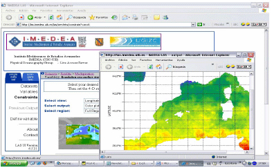
The use of data
from satellites (SST, altimetry,
ocean colour, etc.) has grown
considerably in the context of
operative oceanography and systems
predicting ocean conditions.
The high spatial and temporal
resolution of this type of data
represents a great benefit for
applications such as assimilation
in numerical models, short-term
prediction, long-term studies
of climate change, etc. There
are currently many different types
of data and products from different
satellite systems. Each one of
these has an application within
certain parameters, such as temporal
and spatial resolution, precision,
data assessment, etc.
The aim of this project is to
study the availability of different
collections of metadata and satellite
products that can be used both
for research and operation at
regional (Balearic Sea) and local
levels (coastal area of the Balearic
Islands) to put into practice
a local data server.

More information

Team
| Principal
Investigator: |
| Simón Ruiz |
| |
| Other investigators: |
| Ananda Pascual |
| Guillermo Vizoso |
